
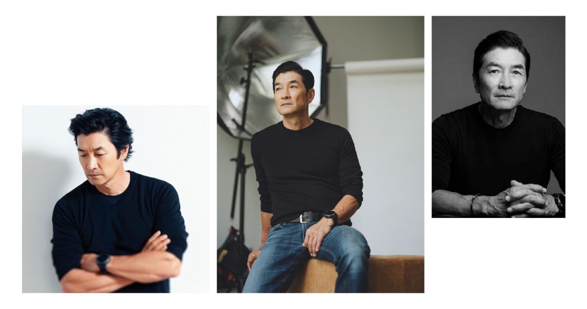

TORONTO, CANADA — Wain Choi, one of the advertising industry’s most well-respected talents, has announced the launch of his own independent agency, BLKW Inc. Serving as Founder and Chief Creative Officer of the agency, Wain is building on his global reputation to transform brands more holistically with his own ethos on “humanity-anchored” work.
Wain’s illustrious career has taken him across North America, Europe and Asia, and has landed him key creative leadership roles in major advertising firms such as Dentsu Brussels, Ogilvy Korea, Cheil Worldwide, CJ Livecity and Zulu Alpha Kilo. Across these agencies, he has led executions for clients like Nike, Coca-Cola, Uniqlo, GM, Ford, Toyota F1, Lexus, Subaru, Bridgestone, CJ Group and Samsung. His work have been recognized and won over 100 awards at Cannes Lions, D&AD, The One Show, The Clios, London International Awards, New York Festivals, Spikes, Adfest and others.
His expertise in the industry has also made him a key jury member for some of advertising’s biggest shows: Cannes Lions, D&AD Foreman, The One Show, Spikes Jury President, Adfest Jury President, Cristal Jury President, AdStars Jury President, Clio, Dubai Lynx, Red Apple, New York Festivals, Kam Fan Award, Marketing Awards and etc.
Wain Choi brings this wealth of experience and knowledge into BLKW’s identity, which prides itself to offering leading-edge creative, design, social and strategic thinking, with humanity at its core.
Notably, the agency also makes a note of stressing its goal to push brands further and out of the safe zone: “Why BLKW? To stand out among the clutter of brands who remain in the middle or the grey zone. Be black or white. Never grey.”
In an article with Strategy Online, Wain emphasized that the core mission of the agency, pronounced Black and White, is truly to empower brands to ”stand out in a sea of sameness. It’s really [saying] that you stand for something.”


This can be seen in the agency’s work with inaugural client Lutronic, a Korean medical laser company that makes innovative devices that deliver exception clinical results. Based in South Korea with five regional offices across Germany, USA, China and Japan, the brand is now distributing in over 80 countries across the globe. BLKW worked with the brand to refine its brand identity with photography, type, a film, and more.
Lutronic Senior VP Global Marketing Jina Kim commented, “Working with BLKW’s Wain Choi was a great experience. With Mr. Choi’s extensive experience in building a brand and expressing it in a way that can resonate globally has been truly impressive. He has the ability to lead the client to really get to the core of who we are as a company and then articulate the core being bringing it to life visually in the most beautiful way. As a client, we’ve also benefited greatly because of Wain’s large network of professionals that greatly respect him and want to work with him. Wain has put together an amazing crew on our project that ran seamlessly and efficiently.”
From a creative’s perspective, Lutronic Associate Creative Director Cesar Philips added, “Working with Wain is a genuine creative joy. The thoughtfulness and perspective he brings to the table truly helps elevate a project beyond the base requirements into tangible art, that focuses on not just what we are doing, but also what we want our audience to feel and take away from it.
His industry experience and knowledge made him the ideal fit to explore the depths and boundaries of what a medical aesthetics brand can be perceived as, and how to move the conversation away from how to be the ‘best in the industry’ to simply how to be ‘the best.’”
With just a few months since launch, the industry is looking forward to how Wain Choi‘s BLKW will play into the current ad landscape, especially with its focus on humanity-centered work, and Wain at the helm with his decades’ worth of credentials.